Tunisia on map, is a country located in North Africa, bordered by Algeria to the west, Libya to the southeast, and the Mediterranean Sea to the north and east. Its location on the map puts it in a strategic position for trade and commerce, as well as cultural exchange.
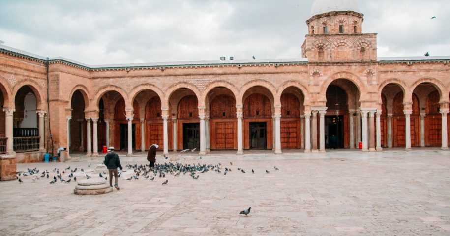
Tunisia’s capital city, Tunis, is located on the northeast coast of the country, near the Gulf of Tunis. The city is home to over 2.3 million people, making it the largest city in the country. It has a rich history, with a medina (old town) that dates back to the 8th century and is a UNESCO World Heritage site.
One of Tunisia’s most famous landmarks is the ancient Roman city of Carthage, located just outside of Tunis. Carthage was once a powerful city-state and the rival of Rome, and its ruins are a popular tourist destination. Other notable historical sites in Tunisia include the Bardo Museum, which houses a collection of ancient Roman mosaics, and the Medina of Sousse, another UNESCO World Heritage site.
In addition to its historical and cultural attractions, Tunisia is also known for its beautiful beaches, which are located along the country’s 1,148-kilometer coastline. Some of the most popular beach destinations in Tunisia include Hammamet, Sousse, and Djerba, which is also a popular destination for scuba diving.
Tunisia’s location on the Mediterranean Sea has played an important role in the country’s history and development. It has been a hub for trade and commerce since ancient times, with merchants and traders from Europe, Africa, and the Middle East passing through the country. Today, Tunisia is a member of the Arab League and the African Union and maintains diplomatic relations with countries around the world.
Overall, Tunisia’s location on the map has made it an important crossroads for trade, culture, and history. From its ancient ruins to its beautiful beaches, the country has a lot to offer visitors and locals alike.


Leave a Reply