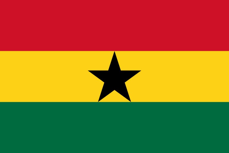
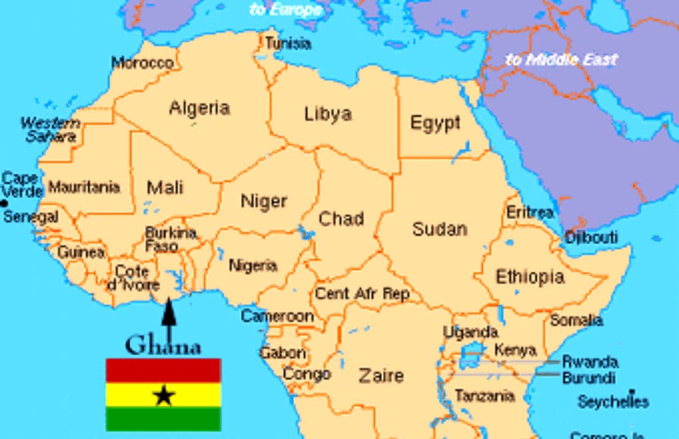
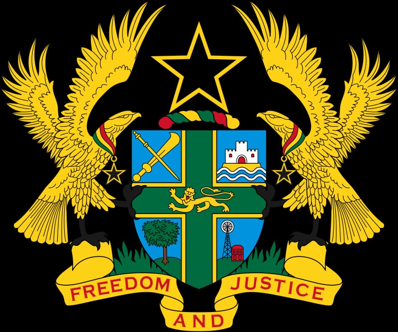
Ghana on map, Ghana or the Republic of Ghana is an African country located along the Gulf of Guinea and the Atlantic Ocean, in the subregion of West Africa. It is bordered by Burkina Faso to the north, Togo to the east, and Ivory Coast to the west. It is a pivotal state in West Africa. It became independent from Britain in 1957 AD, its official language is English and its currency is the Cedi. Its former name was the Gold Coast. Its current name is named after the historical country known as the Ghana Empire, although it did not fall within the borders of that country. It covers an area of 238,535 square kilometers. Ghana means “Warrior King” in the Soninke language

The territory of present-day Ghana has been inhabited for a thousand years, and its first permanent state dates back to the 11th century. Many kingdoms and empires emerged over the centuries, the most powerful being the Ashanti kingdom. Beginning in the 15th century, several European powers contested the region for trade rights, and the British eventually established control of the coast by the late 19th century. After more than a century of local resistance, Ghana’s present borders were established by 1900 as the British Gold Coast. On March 6, 1957, it became the first country in sub-Saharan Africa, independent from European colonialism.
A multicultural nation, Ghana has a population of around 27 million and includes a variety of ethnic, linguistic, and religious groups. 5% of the population practices traditional religions, 71.2% adhere to Christianity and 23.6% are Muslims. Its diverse geography and environment range from coastal savannas to tropical forests. It is a member of the Non-Aligned Movement, the African Union, the Economic Community of West African States, the Group of 24, and the Commonwealth of Nations.


Leave a Reply