Tanzania on Africa map, the Federal Republic of Tanzania is located in East Africa, and it is a union between Tanganyika and the island of Zanzibar, which is characterized by an Arab and Islamic architectural character in light of its history as it belonged to the Omani Empire. The Republic of Tanzania was formed from the union of Tanganyika and Zanzibar, following the bloody massacres that took place in Zanzibar in the year 1384 AH – 1964 AD. In the last quarter of the last century, Britain, Germany, and France conspired to divide East Africa between themselves, so Britain and Germany signed a treaty in the year 1304 AH – 1886 AD to divide the region between them, so Germany took Tanganyika. Germany continued to control Tanganyika until the end of World War I, and when it was defeated, Tanganyika became British and sought a mandate over it from the League of Nations.

Tanzania is a large country in eastern Africa bordering the Indian Ocean. Most of the country is located within the territory of the African continent, and it also includes neighboring islands. The capital is Dar es Salaam, but there is a project to prepare a new capital, by the name of Dodoma, in central Tanzania. The official name of the country is the United Republic of Tanzania.
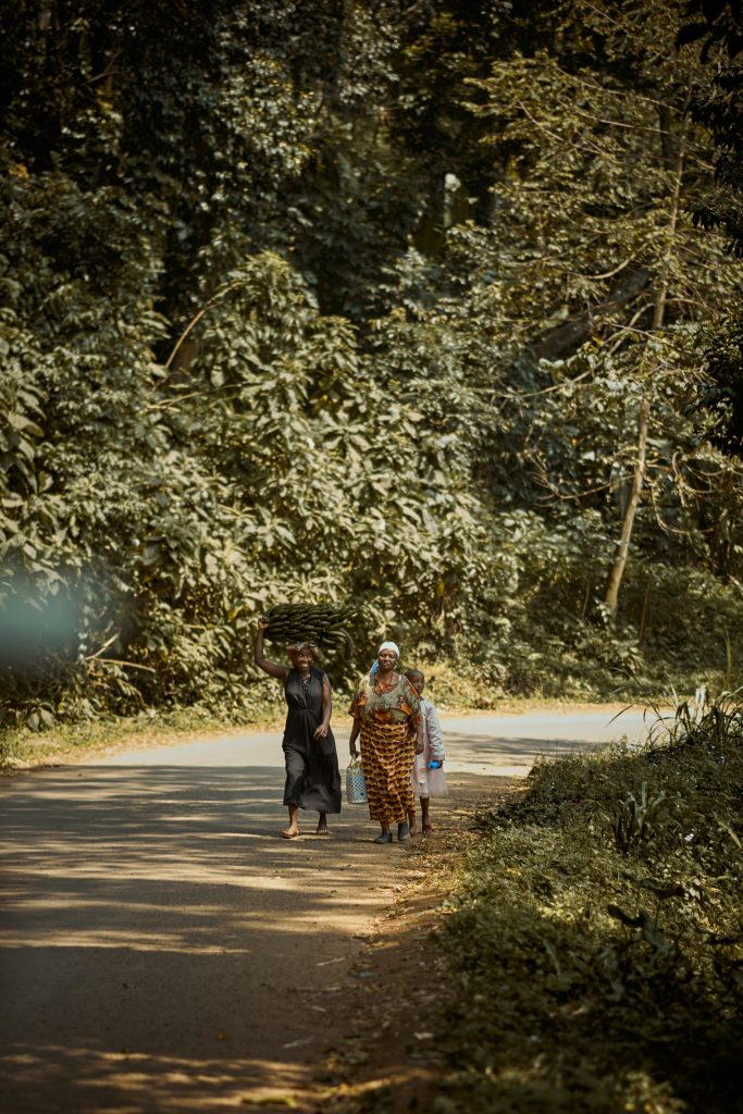
The population in Tanzania consists mainly of Africans and the rest of Asian or European descent. Tanzania is one of the poorest countries in the world, with 80% of its population living in rural areas and relying solely on agriculture for subsistence. The state has sought to develop industries, yet the economy is still based on agricultural production and imported goods.

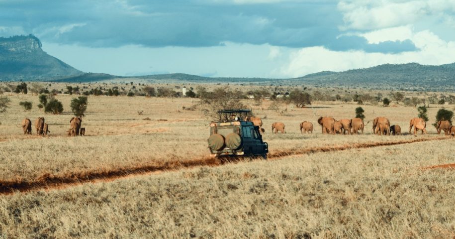
Tanzania is famous for its picturesque nature and rich wildlife. Where elephants, giraffes, lions, zebras, and other animals live freely in the Serengeti National Reserve, in the Selous Animal Enclosure, and in other areas where hunting is prohibited. There is also Mount Kilimanjaro in northern Tanzania, which is covered with ice, and it is considered the highest African peak, It has a height of 5,895 m. There is also Lake Tanganyika, which is the longest freshwater lake in the world and extends for a distance of 680 km on the western borders of the country. And Lake Victoria, which covers an area of 69,485 km², is the largest lake in Africa, and part of it is located in northern Tanzania.
Germany established a colony in the land now known as Tanzania, during the nineteenth century AD. While Britain ruled some of the neighboring islands known as Zanzibar, and at the beginning of the twentieth century AD, the interior lands became a British colony, under the name of Tanganyika. It gained its independence in 1961 and the capital is Dar es Salaam. In 1964, Zanzibar and Tanganyika united to form the Republic of Tanzania.
Tanzania still retains the tribal character and relies so far on agriculture, hunting, and animal husbandry. Tanzania includes a great flat of freshwater lakes with an area of more than 5,300 square kilometers, including half of Lake Victoria, half of Lake Tanganyika, part of Lake Malawi, and a number of small lakes, and the Rovuma and Rufiji rivers. Wami and Benjani, and Tanzania are located in the east of the African continent, one of the largest countries in the continent in terms of area, with an area of 883,749 square kilometers. 35 million people live in Tanzania, and thus it is one of the least densely populated African countries. Tanzania is an Islamic country, as Muslims constitute the vast majority by 70%, concentrated in the Zanzibar region. It is dominated by the tribal character, as the population of Tanzania consists of more than one hundred and twenty tribes belonging to the Negro and Hamitic elements. Among the most prominent African tribes are the Central Bantu, the Yao, the Makunzi, and the Malwa, and between the Nyamwezi and the Sukuma.


Leave a Reply